Methodology
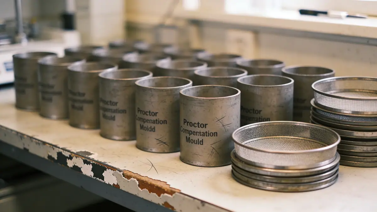
Our approach to geotechnical engineering in Augusta Georgia begins with a thorough review of existing geologic maps and historical boring logs. We then conduct field investigations, primarily using spt boring per ASTM D1586, with sampling intervals of 1.0 to 1.5 meters to capture stratigraphic variations. Standard penetration resistance (N60) values are recorded and correlated with laboratory test results from our soil mechanics laboratory. All data is synthesized into a geotechnical model that accounts for groundwater fluctuations, soil compressibility, and seismic site classification. Our reports provide clear recommendations for foundation type, bearing capacity, and settlement estimates, ensuring compliance with local building codes.
Reference Technical Parameters
| Parameter | Reference Value |
|---|---|
| Predominant soil type | Alluvial sands, silts, and clays over saprolite |
| Maximum seismic acceleration (PGA) | 0.2g to 0.3g (IBC 2018, Site Class D) |
| Typical groundwater level | 2 to 6 meters below ground surface |
| Bedrock depth | 15 to 30 meters (Piedmont metamorphic bedrock) |
| Typical N60 range | 4 to 30 blows per 0.3 m (varies with depth and soil type) |
Local Considerations — Augusta Georgia
Augusta Georgia lies within the Coastal Plain physiographic province, characterized by unconsolidated sediments overlying crystalline basement rock of the Piedmont. Shallow soils consist of Quaternary alluvial deposits along the Savannah River, with variable silt and clay layers that can pose challenges for bearing capacity. The water table is typically high, requiring dewatering considerations for excavations. Seismic hazard is moderate, with peak ground accelerations up to 0.3g per ASCE 7-16, which may trigger liquefaction assessments in loose sands. Our team is experienced with the contrast between older urban fill in downtown Augusta and natural terrace deposits in suburban developments. For projects requiring broader regional context, we coordinate with our geotechnical engineering en Atlanta office to leverage cross-market expertise.
Request a Quote
Our team reviews your project and issues an initial report at no cost.
Or write us directly at [email protected]
Services in Augusta Georgia
Applicable Standards
- ASTM D1586 – Standard Test Method for Standard Penetration Test
- ASCE 7-16 – Minimum Design Loads for Buildings
- IBC 2018 – International Building Code
- ASTM D2487 – Classification of Soils for Engineering Purposes
- ASTM D2435 – One-Dimensional Consolidation Test
Frequently Asked Questions
What are the typical soil conditions encountered in Augusta Georgia?
Augusta Georgia predominantly features alluvial sands, silts, and clays near the Savannah River, underlain by saprolite weathered from Piedmont bedrock. Groundwater is often shallow, at depths of 2 to 6 meters. Standard penetration resistance (N60) typically ranges from 4 to 30 blows per foot, depending on depth and compaction.
Is seismic design required for projects in Augusta Georgia?
Yes, per the International Building Code (IBC) and ASCE 7, Augusta Georgia falls within a moderate seismic zone with a peak ground acceleration of 0.2g to 0.3g. Site-specific seismic analysis, including soil liquefaction potential, is required for most commercial and critical facilities to ensure structural safety.
When is a geotechnical study mandatory in Augusta Georgia?
Local building codes generally require a geotechnical investigation for structures exceeding two stories, for buildings with significant lateral loads, or in areas with known subsurface hazards such as high water table or soft soils. Many lenders and insurers also mandate a geotechnical report for new construction and major renovations.