
Methodology
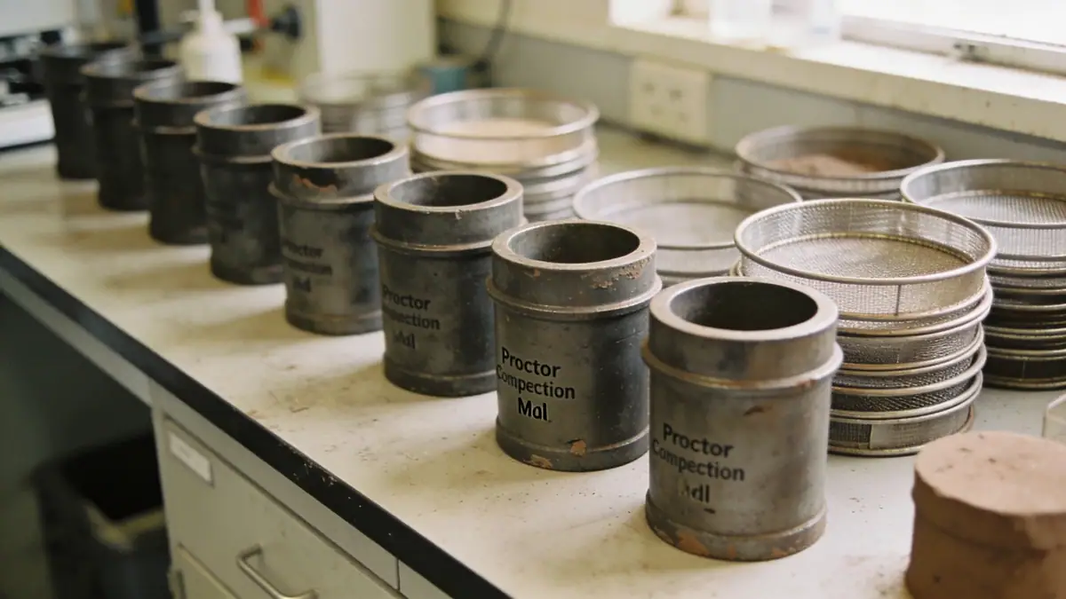
Our methodology in Billings begins with a comprehensive desk study of regional geology and existing boring logs, followed by a field exploration program. We employ standard penetration testing (SPT) per ASTM D1586 to characterize soil strata at depth intervals of 1.0 to 1.5 meters, typically reaching 8 to 15 meters for residential projects. For more detailed profiling, we utilize cone penetration testing (CPT) with continuous readings every 1–2 cm. Our spt boring operations are supplemented by undisturbed sampling for laboratory testing, including grain size distribution (ASTM D6913), Atterberg limits, and direct shear tests (ASTM D3080). This integrated approach ensures reliable soil parameters for foundation design and slope stability analysis.
Reference Technical Parameters
| Parameter | Reference Value |
|---|---|
| Predominant soil type | Glacial till and alluvial deposits (silty clay, sand, gravel) |
| Maximum seismic acceleration (PGA) | 0.15–0.20 g (per ASCE 7-16 for Site Class D) |
| Typical groundwater level | 5–12 m below ground surface |
| Bedrock depth | 15–30 m (variable, deeper in valley fill) |
| Typical N60 range (SPT) | 8–35 blows/0.3 m (silty clays to dense sands) |
Local Considerations — Billings
Billings sits atop the Laurel Formation, a mix of glacial till, alluvial sands, and clay layers deposited by the Yellowstone River. The water table fluctuates seasonally, typically 5–12 m deep, but localized perched zones occur near the river. Seismic hazard is moderate with PGA up to 0.20 g, requiring compliance with ASCE 7-16. East Billings often has stiffer glacial till, while the West End features softer alluvial soils. Common issues include expansive clays that cause foundation heave and liquefaction potential in saturated sands. Our soil mechanics laboratory provides site-specific data to address these conditions. For regional context, see our geotechnical engineering en Denver services.
Request a Quote
Our team reviews your project and issues an initial report at no cost.
Or write us directly at [email protected]
Services in Billings
Applicable Standards
- ASTM D1586 – Standard Penetration Test
- ASCE 7-16 – Minimum Design Loads and Associated Criteria for Buildings
- IBC 2021 – International Building Code (adopted by Montana)
- ASTM D2487 – Classification of Soils for Engineering Purposes
- ASTM D3080 – Direct Shear Test
Frequently Asked Questions
What soil types are common in Billings, Montana?
Billings predominantly features glacial till and alluvial deposits, including silty clays, sands, and gravels. The soils can vary significantly over short distances, with expansive clays and liquefiable sands posing specific challenges for foundations.
What seismic design requirements apply in Billings?
Billings is in Seismic Design Category C per ASCE 7-16, with a maximum considered earthquake spectral response acceleration (S_DS) of about 0.30 g. Structures must comply with IBC 2021 seismic provisions, including soil amplification factors based on site class.
Are geotechnical investigations required for residential construction in Billings?
While not always mandated by local code for single-family homes, a geotechnical investigation is strongly recommended due to variable soil conditions. Many lenders and engineers require a site-specific study to ensure foundation performance and mitigate risk.