Methodology
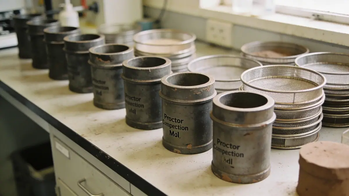
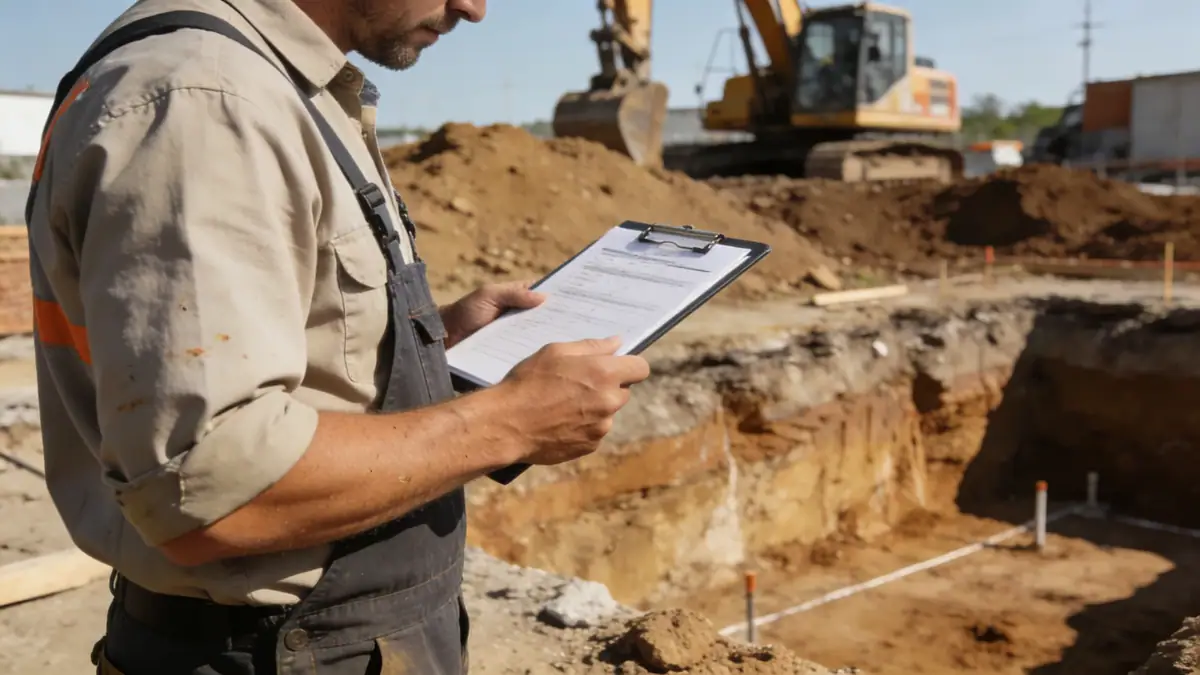
Our methodology for geotechnical engineering in Chandler begins with a thorough review of existing geologic maps and nearby project data. We then conduct a subsurface exploration program typically involving spt boring at intervals of 1.0 to 1.5 meters in accordance with ASTM D1586, supplemented by test pits where access permits. Soil samples are classified in our laboratory using sieve and hydrometer analyses (ASTM D6913/D7928). For seismic considerations, we perform shear wave velocity measurements to determine site class per ASCE 7. Groundwater levels are monitored during drilling and with temporary standpipes. This systematic approach provides the data needed for foundation design, slope stability, and pavement recommendations.
Reference Technical Parameters
| Parameter | Reference Value |
|---|---|
| Predominant Soil Type | Sandy clay to silty sand (alluvial) |
| Maximum Seismic Acceleration (PGA) | 0.2g to 0.3g (ASCE 7 Site Class D) |
| Typical Groundwater Level | 10-30 ft (3-9 m) below grade, locally shallower |
| Bedrock Depth | >100 ft (>30 m); no bedrock encountered in typical projects |
| Typical N60 Range | 10-30 blows/ft in upper 20 ft, increasing with depth |
Local Considerations — Chandler
Chandler's geology consists of deep alluvial deposits from the Salt River, with fine-grained soils near the surface that can be collapsible upon wetting. Expansive clays are present in some subdivisions, requiring special foundation treatments. Seismic hazard is moderate, with a peak ground acceleration of 0.2-0.3g per ASCE 7. Our team has worked extensively in areas such as the Ocotillo district and downtown Chandler, where existing fill and variable compaction pose challenges. For projects near the Gila River Indian Community, coordination with tribal authorities is essential. We also address liquefaction potential in sandy layers below the water table, particularly for critical facilities. For broader regional context, see our geotechnical engineering services from Phoenix.
Request a Quote
Our team reviews your project and issues an initial report at no cost.
Or write us directly at [email protected]
Services in Chandler
Applicable Standards
- ASTM D1586
- ASCE 7
- International Building Code (IBC)
- City of Chandler Engineering Standards
Frequently Asked Questions
What types of soil are commonly found in Chandler?
Chandler typically has deep alluvial soils consisting of sandy clay, silty sand, and occasional gravel layers. These soils are generally suitable for spread footings, but collapsible and expansive soils are present in some areas, requiring additional testing and mitigation.
Is seismic design required for projects in Chandler?
Yes, Chandler is in a moderate seismic zone per ASCE 7. Site-specific seismic analysis, including determination of Site Class and peak ground acceleration, is required for most commercial and multi-family structures. Our team performs shear wave velocity testing to characterize site response.
When is a geotechnical investigation mandatory in Chandler?
The City of Chandler requires a geotechnical report for all new commercial buildings, multi-family projects of three or more units, and any structure with unusual loads or soil conditions. Single-family homes on conventional lots may be exempt, but we recommend a study to identify potential issues.