Methodology
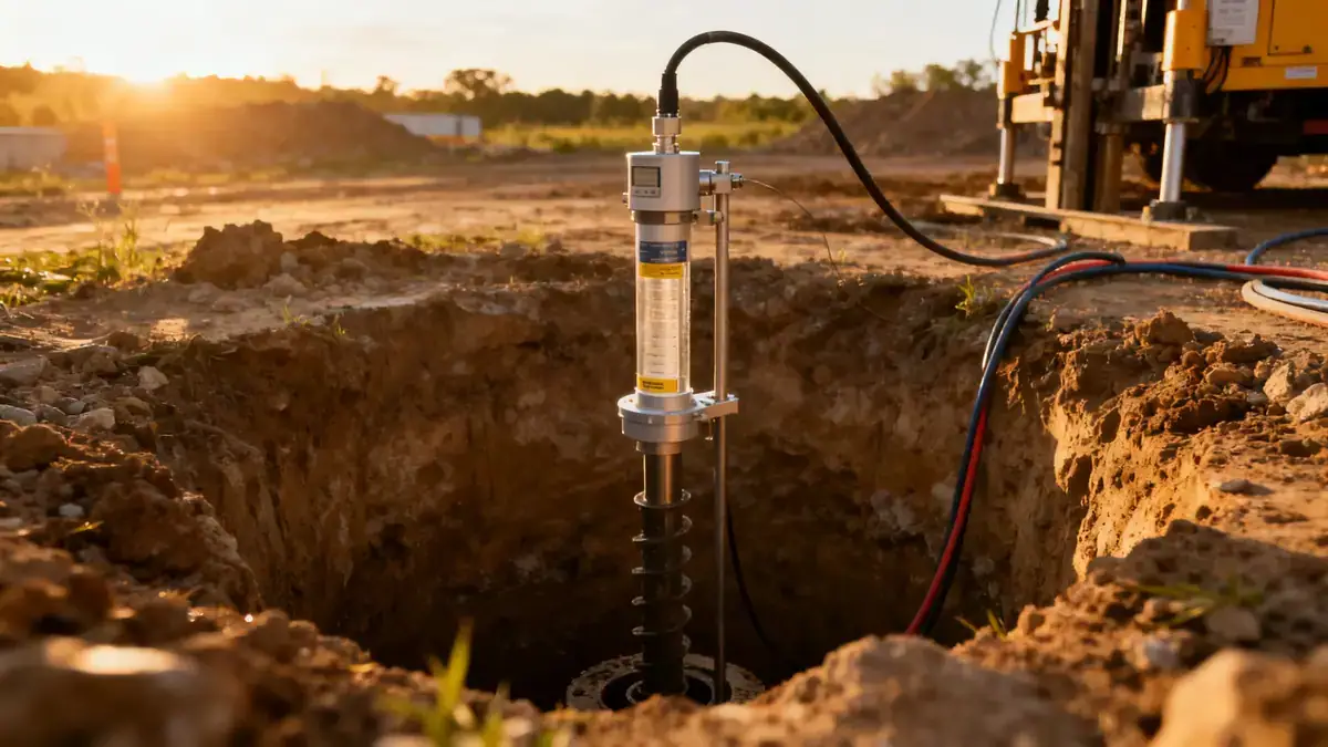
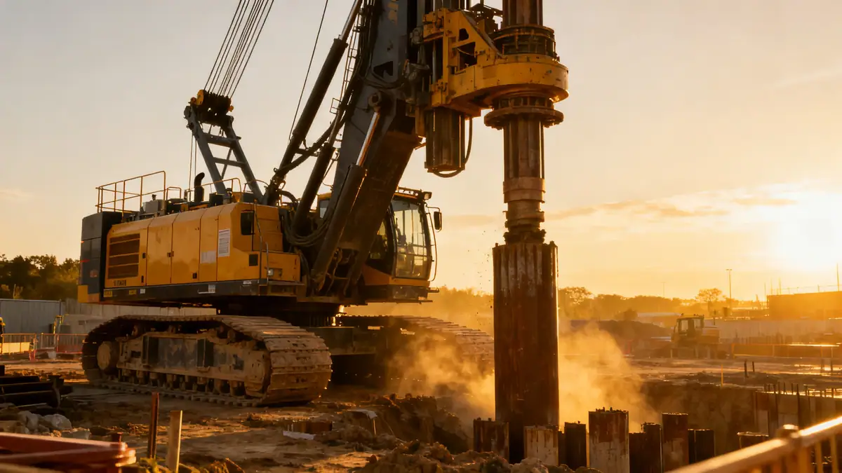
Our methodology for geotechnical engineering in Juneau begins with a comprehensive review of regional geology and seismic hazard data. We then conduct field exploration using methods such as spt boring to recover disturbed and undisturbed samples at regular intervals, typically every 1.5 meters per ASTM D1586. In-situ testing includes standard penetration tests to obtain N-values, supplemented by groundwater monitoring and geophysical surveys where needed. Laboratory testing follows on selected samples to classify soils, measure shear strength, and assess consolidation characteristics. All data are integrated into a geotechnical model that supports foundation design, slope stability analysis, and earthwork recommendations specific to Juneau's conditions.
Reference Technical Parameters
| Parameter | Reference Value |
|---|---|
| Predominant soil type | Glacial till, outwash sands and gravels, marine silts |
| Maximum seismic acceleration (PGA) | 0.3–0.4 g (per USGS seismic hazard maps) |
| Typical groundwater level | 2–6 m below ground surface, seasonally variable |
| Bedrock depth | 10–50 m (variable, deeper in valley fill areas) |
| Typical N60 range (SPT) | 10–40 blows/0.3 m (dense glacial till often >30) |
Local Considerations — Juneau Alaska
Juneau's geology is dominated by glacially derived soils, including dense till, stratified outwash, and compressible marine silts in low-lying areas. The city lies in a region of high seismicity, with design accelerations reaching 0.4 g per ASCE 7-16, requiring careful evaluation of liquefaction potential and lateral spreading. Groundwater levels fluctuate seasonally, often near the surface in spring, impacting excavation stability and foundation drainage. Neighborhoods like the Mendenhall Valley experience thicker soft deposits, while hillside areas present bedrock at shallow depths. Typical projects include hillside homes requiring deep foundations or retaining walls, and commercial developments on filled tidelands. Our team integrates these local factors into every investigation, referencing soil mechanics laboratory data to calibrate design parameters for Juneau's unique conditions.
Request a Quote
Our team reviews your project and issues an initial report at no cost.
Or write us directly at [email protected]
Services in Juneau Alaska
Applicable Standards
- ASTM D1586 (Standard Penetration Test)
- ASCE 7-16 (Minimum Design Loads for Buildings)
- IBC 2018 (International Building Code)
- USGS Seismic Hazard Maps for Alaska
Frequently Asked Questions
What are the typical soil conditions for geotechnical engineering in Juneau?
Soils in Juneau are primarily glacial till, outwash sands and gravels, and marine silts. Till is dense and suitable for spread footings, while silts in valley areas may require deep foundations or ground improvement. Groundwater is often shallow, complicating excavations.
Is seismic design mandatory for projects in Juneau?
Yes, Juneau is in a high seismic zone per ASCE 7-16, with PGA up to 0.4 g. Geotechnical investigations must evaluate liquefaction, slope stability, and lateral earth pressures under seismic loading to comply with the IBC and local building codes.
Do I need a geotechnical study for a residential project in Juneau?
While not always legally required, most lenders and local jurisdictions recommend or require a geotechnical report for new construction, especially on slopes or filled ground. It identifies risks like settlement or slope failure, saving costs long-term.