Methodology

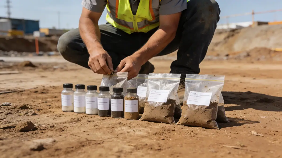
Our methodology for geotechnical engineering in Knoxville integrates regional geology with standard investigative techniques. We begin with a review of existing geologic maps and records, followed by a field exploration program that typically includes spt boring at depths of 8 to 15 meters for residential structures, with deeper borings for larger projects. Soil samples are retrieved at regular intervals per ASTM D1586 and subjected to laboratory classification, strength, and compressibility tests. Groundwater levels are measured during drilling and monitored with piezometers where necessary. All data are analyzed to develop site-specific recommendations for foundation type, bearing capacity, and settlement tolerance, in accordance with applicable building codes.
Reference Technical Parameters
| Parameter | Reference Value |
|---|---|
| Predominant Soil Type | Residual silty clay and clayey silt with weathered shale and limestone fragments |
| Maximum Seismic Acceleration (PGA) | 0.15g to 0.20g (based on USGS Seismic Hazard Maps, Knox County) |
| Typical Groundwater Level | 3 to 9 meters below ground surface, variable with topography and season |
| Bedrock Depth | Typically 5 to 15 meters (limestone/shale bedrock of the Knox Group) |
| Typical N60 Range (SPT) | 8 to 30 blows per 0.3 m in residual soils; >50 in weathered rock |
Local Considerations — Knoxville
Knoxville lies within the Valley and Ridge physiographic province, characterized by folded and faulted sedimentary rocks overlain by residual soils. The local geology includes the Knox Group dolomite and limestone, which can produce solution cavities and variable bedrock elevations. Seismic hazard is moderate, with a peak ground acceleration of 0.15–0.20g, requiring compliance with ASCE 7 seismic design categories. Groundwater levels fluctuate seasonally and can impact excavation stability. Our team coordinates with local building departments to ensure all geotechnical reports meet Knox County requirements. For projects requiring specialized analysis, we collaborate with our main office offering geotechnical engineering en Atlanta.
Request a Quote
Our team reviews your project and issues an initial report at no cost.
Or write us directly at [email protected]
Services in Knoxville
Applicable Standards
- ASTM D1586 (Standard Penetration Test)
- ASCE 7 (Minimum Design Loads for Buildings and Other Structures)
- International Building Code (IBC) as adopted by Tennessee
- Knox County Grading and Erosion Control Regulations
Frequently Asked Questions
What are the typical soil conditions in Knoxville?
Soils in Knoxville are predominantly residual, derived from weathering of limestone and shale. They consist of silty clays and clayey silts with varying amounts of rock fragments. Depth to bedrock can range from 5 to 15 meters, and groundwater levels are typically found between 3 and 9 meters deep.
Does Knoxville have specific seismic design requirements?
Yes, Knoxville is located in a moderate seismic zone. The peak ground acceleration (PGA) for the area ranges from 0.15g to 0.20g, as per USGS data. The Tennessee Building Code adopts ASCE 7, which requires site-specific seismic analysis for certain structures, including soil liquefaction assessment where applicable.
Are geotechnical studies mandatory for construction in Knoxville?
For most commercial and multi-family residential projects, a geotechnical report is required by Knox County to obtain a building permit. Single-family homes may not always require a full study, but it is highly recommended due to variable subsurface conditions, especially in areas with steep slopes or known soil issues.