Methodology
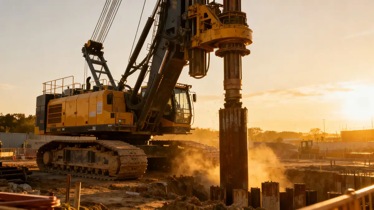
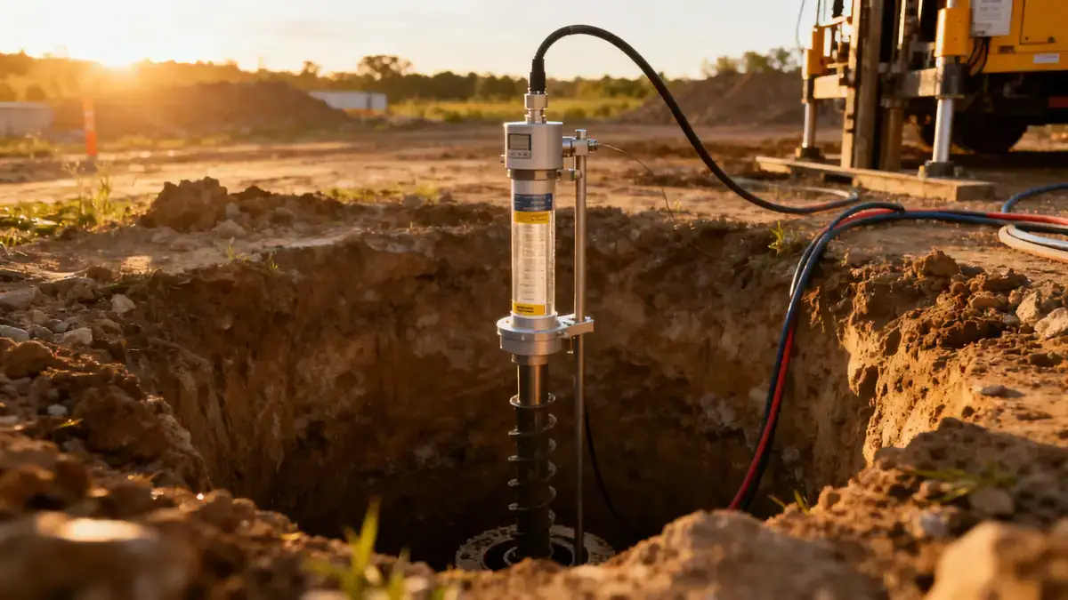
Our methodology for geotechnical engineering in Pasadena California begins with a comprehensive review of existing geological maps and previous subsurface data. We then design an exploration program that typically includes spt boring to obtain disturbed and undisturbed samples at intervals of 1.0 to 1.5 meters, following ASTM D1586. Standard penetration tests are conducted to evaluate blow counts (N60), while groundwater levels are monitored during and after drilling. In the laboratory, we classify soils per the Unified Soil Classification System (USCS) and perform index tests such as Atterberg limits and grain size analysis. This data is integrated into a site-specific geotechnical report that addresses bearing capacity, settlement, seismic site classification, and liquefaction potential.
Reference Technical Parameters
| Parameter | Reference Value |
|---|---|
| Predominant soil type | Silty sands (SM) and poorly graded sands (SP) with gravel, overlying older alluvium |
| Maximum seismic acceleration (PGA) | 0.5g to 0.7g (MCE, Site Class D, per ASCE 7-16) |
| Typical groundwater level | 15 to 30 feet below ground surface, variable seasonally |
| Bedrock depth | 50 to 100 feet in valley areas; shallower (<30 ft) on hillsides |
| Typical N60 range | 8 to 30 blows/ft for alluvial sands; 15 to 50+ blows/ft for older deposits |
Local Considerations — Pasadena California
Pasadena’s geology is dominated by Quaternary alluvium from the Arroyo Seco and Eaton Wash, underlain by older Pleistocene terrace deposits and Tertiary sedimentary rock. In hillside neighborhoods such as Linda Vista and the San Rafael area, colluvial soils and weathered bedrock present slope stability concerns that require careful analysis of shear strength parameters. The Raymond Fault traverses the southern portion of the city, imposing special seismic design provisions under the Alquist-Priolo Act. Typical projects include residential additions, commercial buildings, and retaining walls, where our team evaluates liquefaction susceptibility (especially in saturated sands near the Rio Hondo) and recommends appropriate foundation solutions. For broader regional context, visit our geotechnical engineering en Los Angeles page.
Request a Quote
Our team reviews your project and issues an initial report at no cost.
Or write us directly at [email protected]
Services in Pasadena California
Applicable Standards
- ASTM D1586
- California Building Code (CBC, based on IBC)
- ASCE 7-16
- Alquist-Priolo Earthquake Fault Zoning Act
- City of Pasadena Municipal Code (Title 15 – Buildings and Construction)
Frequently Asked Questions
What are the typical soil conditions in Pasadena California?
Soils in Pasadena range from silty sands and gravels in the valley to colluvial deposits and weathered bedrock on hillsides. Groundwater is generally deep (15–30 ft), but localized perched water can occur near the Arroyo Seco. Geotechnical investigations are essential to characterize these varying conditions.
How does seismic activity affect geotechnical engineering in Pasadena?
Pasadena lies near several active faults, including the Raymond and Sierra Madre faults. Seismic design parameters are based on ASCE 7-16 Site Class D, with PGA values up to 0.7g. Liquefaction potential must be evaluated in areas with loose, saturated sands, and slope stability analyses are required for hillside developments.
Are geotechnical studies required for all construction projects in Pasadena?
The City of Pasadena requires geotechnical reports for most new buildings and additions, especially in hillside areas or near fault zones. The California Building Code mandates site-specific seismic hazard evaluations for structures in Seismic Design Categories D, E, and F, which apply throughout Pasadena.