Methodology
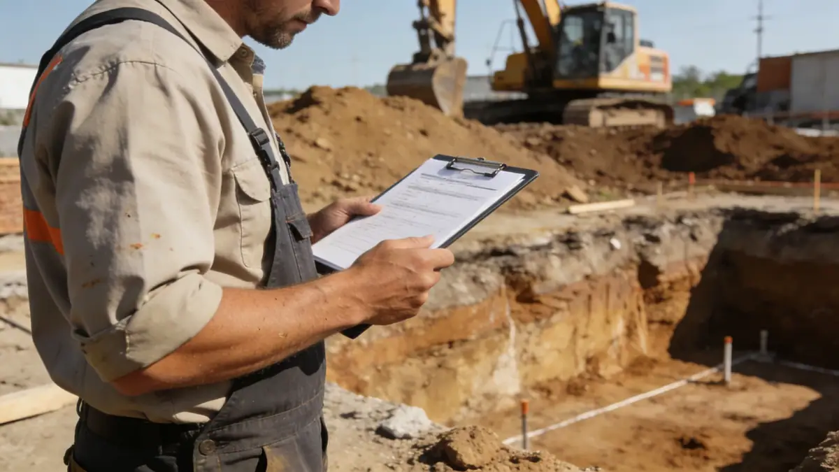
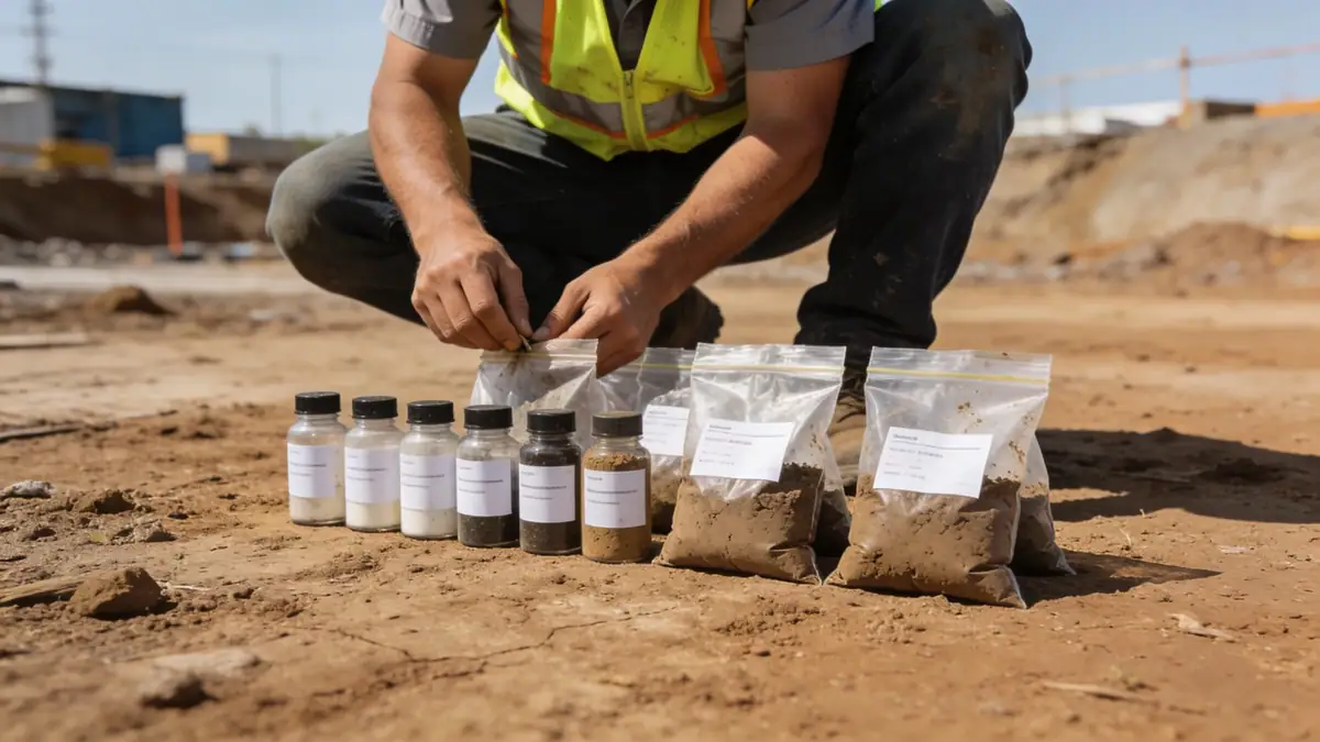
Our methodology for geotechnical engineering in Richmond Virginia begins with a thorough review of existing geologic maps and nearby project records. We then conduct field exploration programs tailored to site conditions, typically including spt boring to obtain disturbed and undisturbed samples at regular intervals, as well as cone penetration testing where appropriate. Laboratory testing follows ASTM standards to classify soils, measure strength, and determine consolidation characteristics. Our engineers analyze these data to develop site-specific recommendations for foundation design, earthwork, and slope stability. We emphasize clear communication and practical solutions, ensuring that our reports provide actionable guidance for design and construction teams working in Richmond Virginia.
Reference Technical Parameters
| Parameter | Reference Value |
|---|---|
| Predominant soil type | Coastal Plain sands, silts, clays; Piedmont residual silty sands and clayey sands |
| Maximum seismic acceleration (PGA) | 0.15g to 0.25g (ASCE 7-16, Site Class C/D) |
| Typical groundwater level | 3 to 15 feet below grade, varies with season and topography |
| Bedrock depth | 10 to 100+ feet; shallow in western Piedmont, deep in eastern Coastal Plain |
| Typical N60 range (SPT) | 5 to 30 blows/ft in sands; 2 to 15 blows/ft in clays |
Local Considerations — Richmond Virginia
Geotechnical engineering in Richmond Virginia must account for the city's unique geology. The Fall Line divides the Coastal Plain (east) from the Piedmont (west), creating abrupt changes in soil and rock conditions. Coastal Plain soils are generally loose sands and soft clays, often with high groundwater, requiring careful dewatering and foundation design. Piedmont residual soils are stiffer but may contain expansive clays or collapsible silts. Seismic site classification per ASCE 7 typically ranges from Site Class C to E, with liquefaction potential in saturated sands near the James River. Our team has addressed these challenges in projects ranging from historic building renovations in the Fan District to new commercial developments in the West End. For broader context, we coordinate with our main office providing geotechnical engineering en Philadelphia to leverage regional expertise.
Request a Quote
Our team reviews your project and issues an initial report at no cost.
Or write us directly at [email protected]
Services in Richmond Virginia
Applicable Standards
- ASTM D1586 (Standard Penetration Test)
- ASTM D2487 (Unified Soil Classification System)
- ASCE 7-16 (Minimum Design Loads and Associated Criteria for Buildings and Other Structures)
- Virginia Uniform Statewide Building Code (USBC)
- City of Richmond Public Works Standards
Frequently Asked Questions
What are the typical soil types encountered in Richmond Virginia?
Richmond Virginia spans two geologic provinces: the Coastal Plain with sands, silts, and clays, and the Piedmont with residual silty sands and clayey sands from weathered granite and gneiss. Groundwater levels are generally high in the east, and bedrock depth increases significantly east of the Fall Line.
Does Richmond Virginia have seismic design requirements?
Yes, per ASCE 7-16, Richmond Virginia is in Seismic Design Category B to C, with peak ground accelerations up to 0.25g. Site-specific seismic hazard analysis may be required for critical facilities or sites with soft soils, as liquefaction potential exists in saturated sands along the James River.
When is a geotechnical investigation required for construction in Richmond Virginia?
The Virginia Uniform Statewide Building Code requires a geotechnical investigation for most new buildings and additions, particularly where foundations bear on soil. Local jurisdictions may also require subsurface exploration for stormwater management facilities, retaining walls, and slope stabilization projects.