Methodology
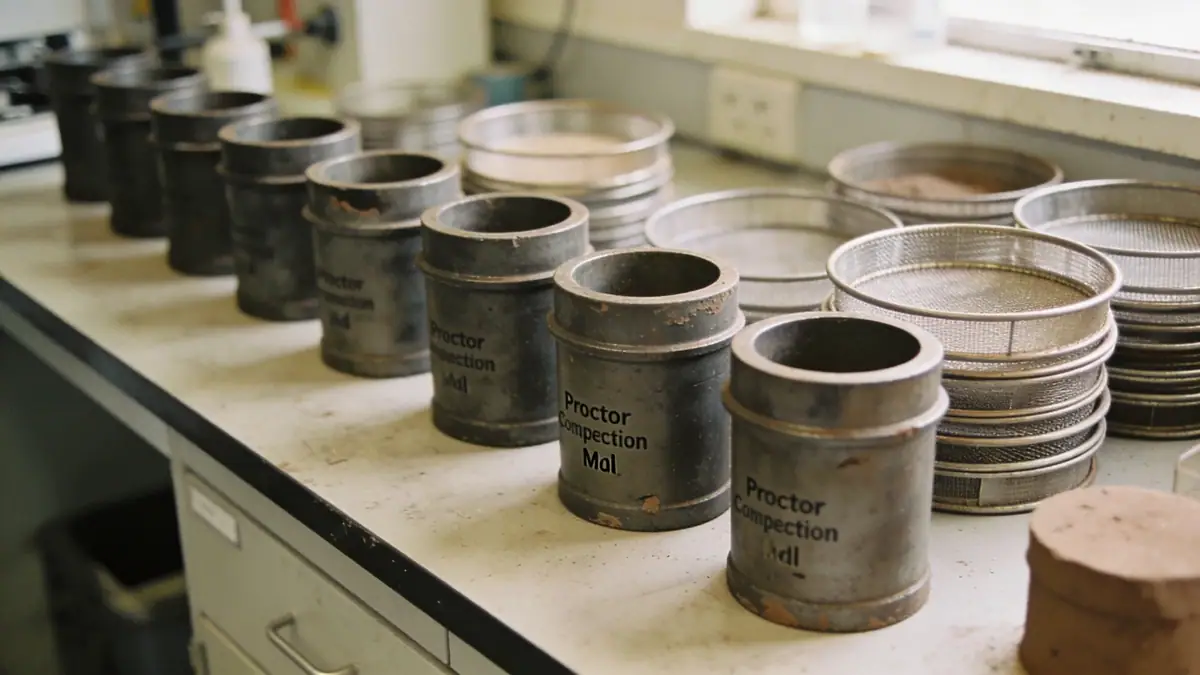
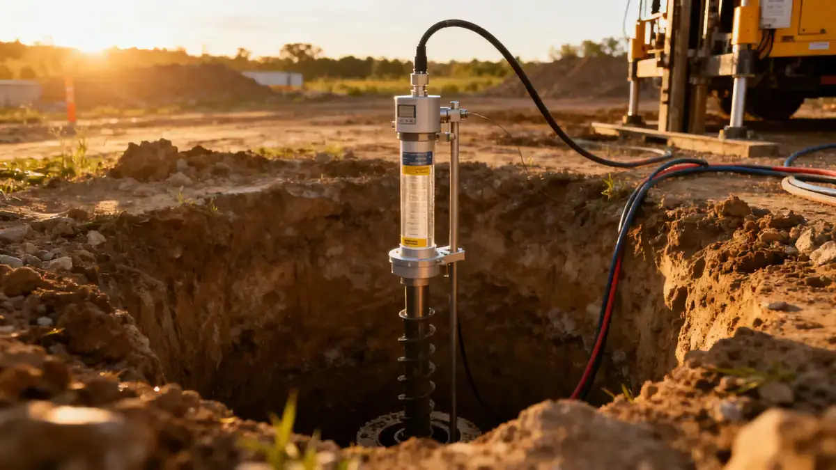
Our geotechnical methodology in Scottsdale begins with a detailed review of existing geological maps and previous site data. We then conduct thorough field investigations, including spt boring to obtain soil samples and measure penetration resistance at regular intervals. These data are complemented by laboratory tests on recovered samples to classify soils and determine their strength and compressibility. We analyze all information to develop a site-specific geotechnical model that accounts for local variability in soil types and groundwater conditions. This model forms the basis for our recommendations regarding foundation design, slope stability, and pavement support. Our systematic approach ensures that each project benefits from a robust understanding of subsurface conditions, minimizing risk and optimizing design parameters.
Reference Technical Parameters
| Parameter | Reference Value |
|---|---|
| Predominant soil type | Silty sands (SM) and clayey sands (SC) with occasional gravel |
| Maximum seismic acceleration (PGA) | 0.2g to 0.3g (ASCE 7-16, Site Class D) |
| Typical groundwater level | Greater than 15 m below ground surface |
| Bedrock depth | Variable, typically 10 to 30 m in valley areas |
| Typical N60 range | 10 to 40 blows per 300 mm (ASTM D1586) |
Local Considerations — Scottsdale
Scottsdale's geotechnical landscape is shaped by its location within the Basin and Range province. Alluvial fans from the McDowell Mountains deposit coarse sands and gravels near the mountain fronts, while finer silts and clays dominate the valley floors. Expansive clay soils are common in certain subdivisions, requiring careful evaluation of shrink-swell potential. Seismic hazard is moderate, with design accelerations prescribed by ASCE 7 based on site class. Groundwater is generally deep, but localized perched conditions may occur near irrigation canals. Our firm has extensive experience navigating the contrast between older, stable neighborhoods and newer developments on deeper fill soils. For broader regional context, our geotechnical engineering in Phoenix hub provides additional insight into the metropolitan area's subsurface conditions.
Request a Quote
Our team reviews your project and issues an initial report at no cost.
Or write us directly at [email protected]
Services in Scottsdale
Applicable Standards
- ASTM D1586 (Standard Penetration Test)
- ASCE 7-16 (Minimum Design Loads and Associated Criteria for Buildings and Other Structures)
- IBC 2021 (International Building Code)
- City of Scottsdale Engineering Design Standards
Frequently Asked Questions
What are the typical soil conditions for geotechnical engineering in Scottsdale?
Scottsdale soils are predominantly silty sands and clayey sands derived from alluvial fans. Expansive clays are present in some areas, requiring swell testing. Groundwater is deep, but localized perched water may occur near irrigation features.
What seismic design code applies to Scottsdale?
Scottsdale follows the International Building Code (IBC) with ASCE 7 seismic provisions. Site-specific peak ground accelerations typically range from 0.2g to 0.3g, depending on site class and proximity to faults.
Is a geotechnical investigation required for residential projects in Scottsdale?
Yes, the City of Scottsdale mandates a geotechnical report for most residential developments, especially those involving cut-and-fill or expansive soils. Early investigation helps mitigate risks related to foundation movement and slab cracking.