Methodology
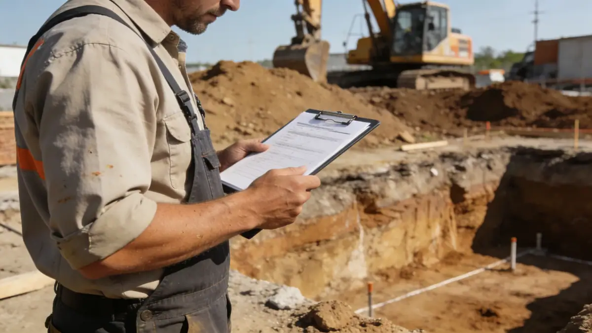
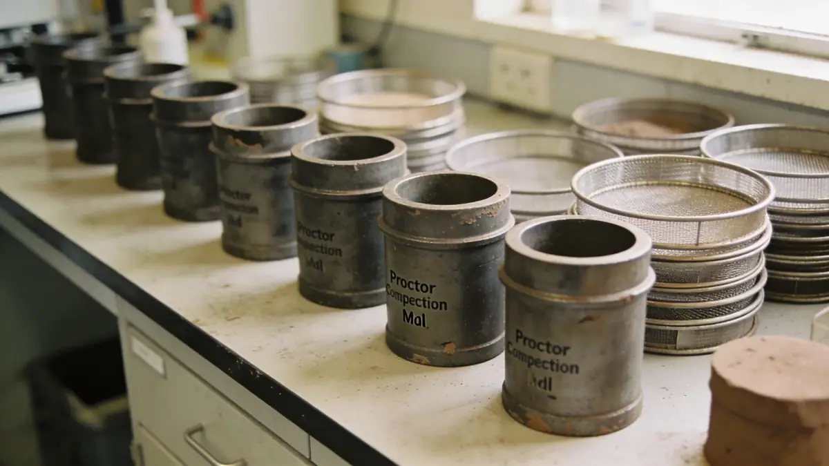
Our methodology for geotechnical engineering in Tacoma begins with a detailed review of site history and regional geology. We then design a subsurface exploration program that typically includes spt boring to obtain soil samples and measure N-values in accordance with ASTM D1586. These borings are strategically placed to capture variability across the site, with sampling intervals of 1.0 to 1.5 meters. In soft soils, we may supplement with Cone Penetration Testing (CPT) for continuous profiling. Laboratory testing follows, including grain size analysis (ASTM D6913), Atterberg limits, and triaxial shear strength tests. Our team integrates these data into a geotechnical model that supports foundation design, seismic site classification, and settlement analysis. The result is a clear, actionable report that guides construction and satisfies local permitting requirements.
Reference Technical Parameters
| Parameter | Reference Value |
|---|---|
| Predominant soil type | Glacial till, interbedded sand and clay, fill |
| Maximum seismic acceleration (PGA) | 0.4g to 0.6g (Site Class C/D) |
| Typical groundwater level | 3 to 10 feet below grade |
| Bedrock depth | 50 to 200 feet (variable) |
| Typical N60 range (SPT) | 5 to 50 blows per foot |
Local Considerations — Tacoma
Tacoma's geology is shaped by repeated glaciation and fluvial deposition from the Puyallup River. Soils vary widely: dense glacial till in the hillsides, loose alluvial sands and soft clays in the valley bottoms. Groundwater is shallow near the waterfront and river corridors, requiring dewatering considerations. The region is in a high-seismic zone (USGS Seismic Design Category D or E), with the Cascadia subduction zone posing a significant hazard. Liquefaction potential is elevated in areas with loose, saturated sands. Our firm addresses these challenges through site-specific seismic hazard analyses and slope stability evaluations for hillside developments. We also coordinate with the City of Tacoma's critical areas ordinances, which require geotechnical reports for steep slopes and wetland buffers. For clients requiring regional perspective, our geotechnical engineering in Seattle team provides complementary services across the Puget Sound region.
Request a Quote
Our team reviews your project and issues an initial report at no cost.
Or write us directly at [email protected]
Services in Tacoma
Applicable Standards
- ASTM D1586 (Standard Test Method for SPT)
- ASCE 7-22 (Minimum Design Loads for Buildings)
- International Building Code (IBC) 2021
- Washington State Building Code (WSBC)
- City of Tacoma Critical Areas Ordinance
Frequently Asked Questions
What soil types are commonly encountered in Tacoma?
Tacoma soils include dense glacial till, interbedded sands and silts, and soft clays from the Puyallup River delta. Fill materials are also common in developed areas. The variability requires careful site-specific exploration to characterize bearing capacity and seismic behavior.
How does seismic risk affect geotechnical engineering in Tacoma?
Tacoma lies in a high-seismic zone due to the Cascadia subduction zone and shallow crustal faults. Geotechnical engineers must evaluate liquefaction potential, lateral spreading, and site class effects per ASCE 7. Deep soil profiles can amplify ground motions, requiring advanced site response analyses.
When is a geotechnical study required in Tacoma?
The City of Tacoma requires geotechnical reports for developments on steep slopes, within critical areas, or for structures in high-seismic categories. Many lenders and insurers also mandate studies for commercial projects. A typical study includes borings, laboratory tests, and engineering recommendations.