Methodology
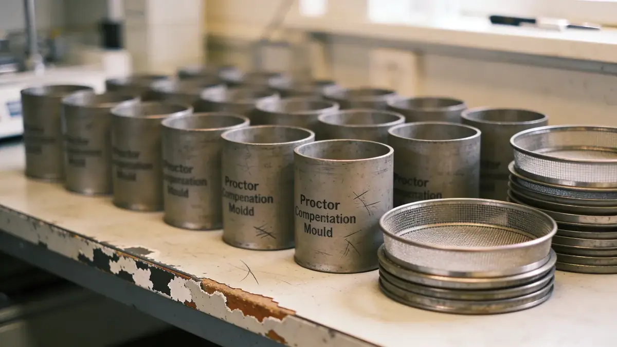
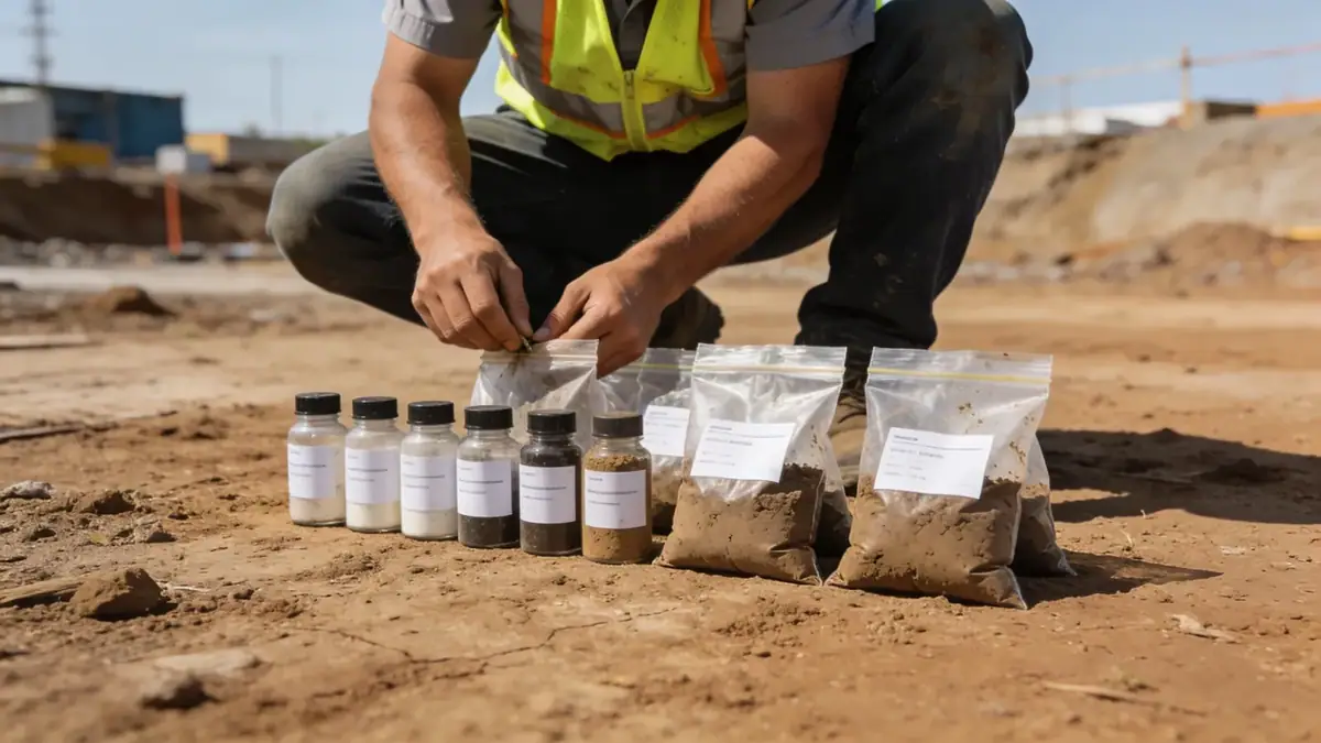
Our methodology in Worcester begins with a thorough review of existing geological maps and previous site data. We then conduct targeted field investigations, including spt boring to obtain soil samples and measure penetration resistance. These data are analyzed in our soil mechanics laboratory to determine index properties, strength, and consolidation characteristics. All work follows ASTM standards, with particular attention to ASTM D1586 for SPT. The results inform our geotechnical models, which are used for bearing capacity, settlement, and slope stability analyses, as well as seismic site classification per ASCE 7.
Reference Technical Parameters
| Parameter | Reference Value |
|---|---|
| Predominant soil type | Glacial till (silty sand with gravel), outwash sands, and lacustrine clays |
| Maximum seismic acceleration (PGA) | 0.20 g (ASCE 7 Site Class C) |
| Typical groundwater level | 3 to 8 meters below ground surface |
| Bedrock depth | 10 to 30 meters (bedrock is metamorphic schist and gneiss) |
| Typical N60 range (SPT) | 10 to 50 blows per 0.3 m in till; 5 to 20 in sand; 2 to 10 in clay |
Local Considerations — Worcester
Worcester's subsurface is shaped by glacial processes, with till overlying bedrock in upland areas and stratified drift in valleys. The city's seismic hazard, though moderate, requires site-specific evaluation per ASCE 7. Our team has extensive experience with local conditions, including high groundwater in low-lying areas and variable bedrock depths. For projects near the city center, we often coordinate with historic fill management. For broader coverage, our geotechnical engineering en New York hub provides regional context.
Request a Quote
Our team reviews your project and issues an initial report at no cost.
Or write us directly at [email protected]
Services in Worcester
Applicable Standards
- ASTM D1586
- ASCE 7
- Eurocode 7
- BS 5930
Frequently Asked Questions
What are the common soil types found in Worcester?
Worcester's soils are primarily glacial till (silty sand with gravel), outwash sands, and lacustrine clays. Bedrock is typically metasedimentary or igneous, at depths ranging from 10 to 30 meters. These conditions influence foundation selection and excavation methods.
What seismic design parameters apply in Worcester?
Worcester falls under moderate seismic hazard per ASCE 7, with a mapped PGA of about 0.20 g for Site Class C. Site-specific response spectra are required for critical structures. Our firm performs seismic site classification and liquefaction assessments as needed.
Are geotechnical investigations mandatory for construction in Worcester?
While not always mandated by local code, most building permits require a geotechnical report for structures over three stories or with deep foundations. Lenders and insurers also often require subsurface investigations. We recommend a study for any significant project to mitigate risk.